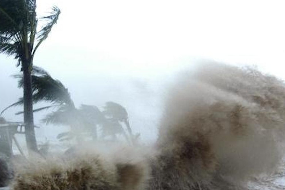
It’s not often that the classification “Super Typhoon”—the equivalent of a strong Category 4 or 5 Hurricane, like Katrina or Andrew—fails to convey the intensity of a tropical cyclone. But “Haiyan,” a Super Typhoon about to make landfall over the Philippines, is no ordinary Super Typhoon. Haiyan makes Katrina look like a run-of-the-mill storm. It may be the most intense tropical storm in recorded history. But there’s a catch: We may never know for sure.
The most reliable measurements of tropical cyclone intensity come from Hurricane Hunter aircraft, which fly directly into the eye of the storm, measuring flight-level wind-speeds along the way, and then drop a “dropsonde,” or instrument package down to the surface to measure the air pressure at the surface. By the latter measure, Super Typhoon Tip is the most intense tropical cyclone on record, with a pressure of just 870 millabars. For comparison, the average pressure is about 1013mb—Hurricane Katrina peaked at 902mb.
Unfortunately, there aren’t air reconnaissance missions into Typhoons in the Western Pacific. Instead, intensity is estimated based on satellite imagery using the “Dvorak Technique.” It might sound a little strange to judge the strength of a tropical cyclone by appearance, but the Dvorak Technique actually works pretty well well. You really can judge a Hurricane by its cover.
So how strong is Haiyan? Based on satellite imagery, the Joint Typhoon Warning Center estimates that Haiyan is... perfect, therefore possessing maximum sustained winds of 195 mph. Those maximum sustained winds are 20 mph faster than Hurricane Katrina at its peak, 5 mph faster than any previous storm. Based on the satellite images, Haiyan may be the strongest in the satellite era.
I’ve been watching hurricanes and typhoons for 18 years, and I’ve never seen anything like Haiyan (with the possible exception of Super Typhoon Angela, but, that was 18 years ago and I don’t remember it well.) It makes Hurricane Katrina look like a typical storm.
Take a look at Katrina. At this point, Katrina is a Category 5 hurricane with winds of 165 mph. Looks scary, right?
You’re looking at an infrared satellite image. Counter-intuitively, the “red” clouds are actually the coldest—that means they’re very tall clouds, so tall that the temperature is about -70 Celsius. These clouds are so tall that they’re bumping up and even through the “tropopause,” where the troposphere ends and stratosphere begins.
Look at Katrina’s eye. It’s perfectly round. The center is black, meaning there are only a few low clouds near the surface. The inner-eye wall looks like a series of concentric rings, steadily moving up the color scale. The eye is surrounded by a symmetric, thick, intense ring of strong thunderstorms, called the “central dense overcast.”
A perfectly well-defined eye, like Katrina's, is characteristic of a very strong Category 4 or 5 Hurricane. It’s not necessary for a storm to be a strong 4 or 5, but it is basically sufficient.
From there, the height of the clouds in the central dense overcast gives you a sense of whether it’s a strong 5 (completely surrounded by red) or a strong 4 (perhaps no red at all). Why does it matter if the clouds are tall? Think about the idea of “low pressure": If the pressure is low at the surface, where did all of that air go? The answer is “up,” by means of the updrafts producing those tall thunderstorms, and then out—you can see the “outflow” along the periphery of the storm, those whispy, white clouds along the edge. That's basically the “exhaust” of the storm.
Here’s the exact same satellite image of Haiyan.
If you were reading before, I don’t really think I need to say anything. Here's a perfectly well-defined eye, surrounded by a massive, uniform, thick wall of the coldest cloud-tops on the scale. Every part of Haiyan’s central dense overcast is colder than the coldest parts of Katrina. If you were imagining the strongest hurricane ever, this is basically what it would look like.
To be fair to Katrina, Haiyan is a much smaller storm. Hurricane force winds only extend about 50 miles from the center; Hurricane force winds extended far more than 100 miles from Katrina's center. That's what made Katrina so incredible. It had an all-but unprecedented combination of size and strength for an Atlantic hurricane. But when it comes to brute intensity, there's no question that Haiyan is stronger—and it's not even close.
Unfortunately, we'll never know if Haiyan is the most intense storm in record history, since there aren't any Hurricane Hunters to fly through and check. We don't even know if 870mb was Tip's lowest pressure—perhaps it was lower when the Hurricane Hunters weren't in the storm. But the point is that Haiyan may be the most intense storm in the satellite-era. It certainly has the best satellite presentation I've seen. And, unfortunately, it's about to make landfall.
